Anwendungen
- Art & Design
- Auto & Vehicles
- Beauty
- Bücher & Nachschlagewerke
- Büro
- Comics
- Kommunikation
- Dating
- Bildung
- Unterhaltung
- Events
- Finanzen
- Food & Drink
- Gesundheit & Fitness
- House & Home
- Software & Demos
- Lifestyle
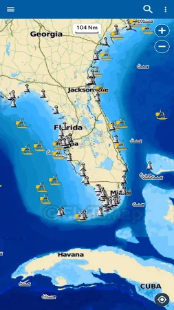
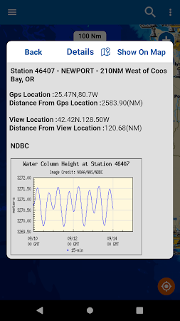
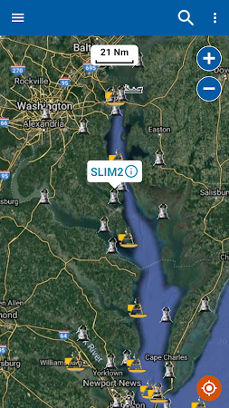
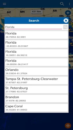
- Maps & Navigation
- Medizin
- Musik & Audio
- Nachrichten & Zeitschriften
- Parenting
- Personalisierung
- Fotografie
- Effizienz
- Shopping
- Soziale Netzwerke
- Sport
- Tools
- Reisen & Lokales
- Video Players & Editors
- Wetter
Spiele
Kommentare